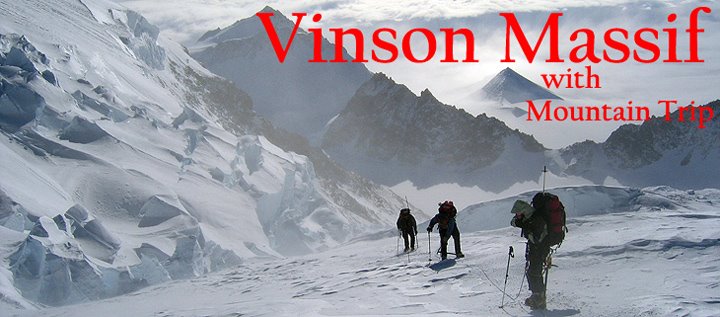
Bill called minutes ago to report that everyone has made it to Base Camp! Finally, the waiting game is over, and they can get down to business.
Apparently, there was enough of a break in the clouds to sneak in two flights with our climbers on them. Clouds won't stop them from being able to climb, it is wind which is the challenge on Mount Vinson. They will get some sleep tonight and head up glacier in the morning.
Vinson Base Camp is located on a relatively gentle glacier called the Branscomb. The route to the summit follows the Branscomb Glacier east for about four miles. Some teams put a camp in at this point, where the glacier makes a sharp turn to the north. Others will push another three miles to a camp just south and east of a ridge which descends from the summit plateau.
Historically, beyond this camp, climbers have moved quickly east, through a basin flanked by rather active ice cliffs on two sides and with a moderately steep glacier headwall at the eastern head of the basin. They would climb up the headwall, which is challenging, but never steeper than 40 degrees, to a broad saddle between Vinson and Mount Shinn. High Camp has traditionally been located off to the Vinson (south) side of this saddle.
Recently, climbers have opted to not go into the basin due to the objective hazards from falling seracs or ice cliffs. They have been climbing up the ridge to the east of Camp to gain the summit plateau, just above the aforementioned saddle and a bit higher than the old High Camp. Current conditions will dictate which option our teams will choose.
I have posted a link to a nice topographical map of the area, which should help make sense of the descriptions I just gave. To locate Mount Vinson, begin in the lower left (southwest) quadrant. Count three "squares" to the left (east) and one up (north). Click on this quadrant and you will find the Branscomb Glacier in the upper left corner.
Here the link.
Sunday, December 28, 2008
Subscribe to:
Post Comments (Atom)


No comments:
Post a Comment